Story Maps
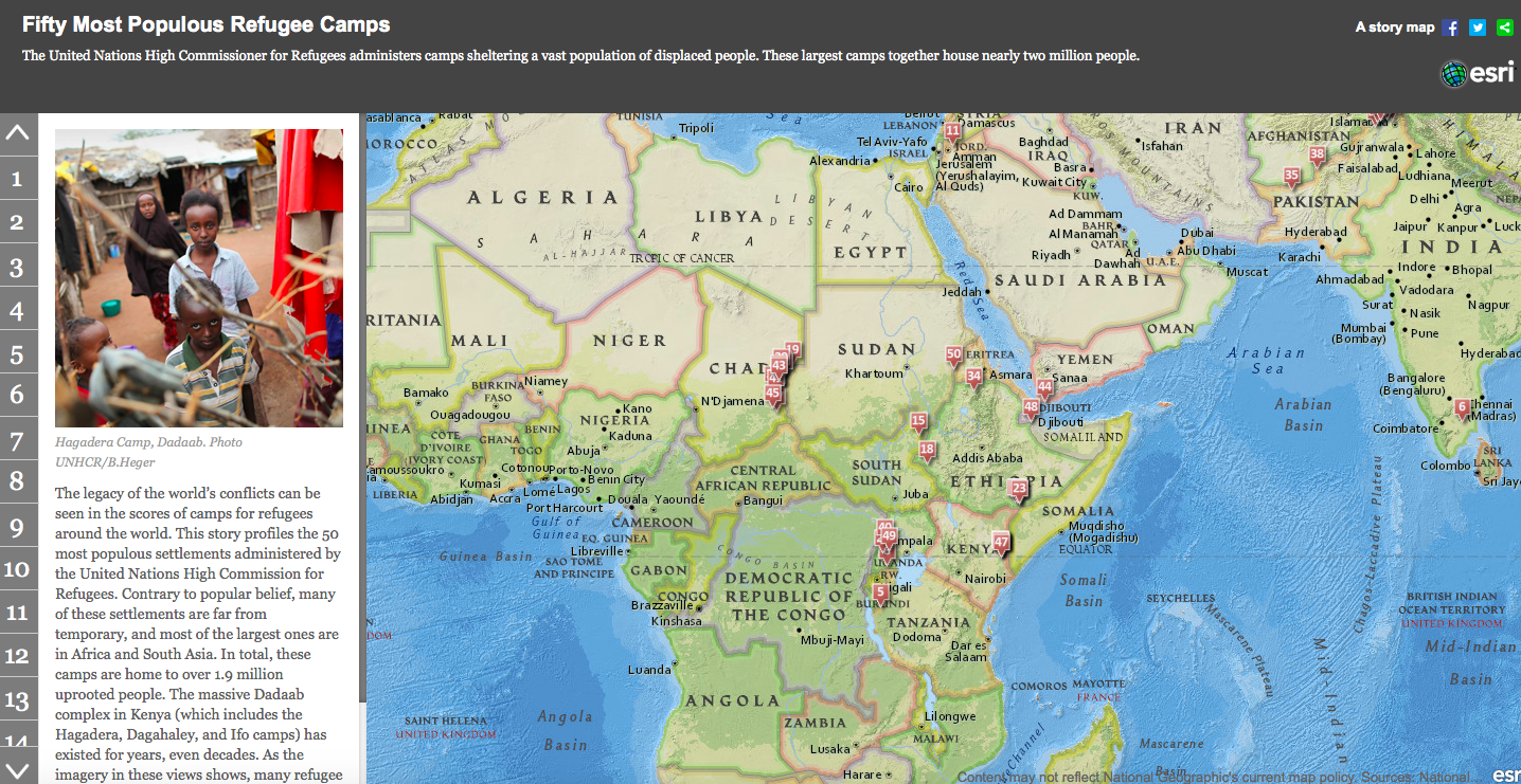
Story maps use geography as a means of organizing and presenting information. They tell the story of a place, event, issue, trend, or pattern in a geographic context. They combine interactive maps with other rich content—text, photos, video, and audio—within user experiences that are basic and intuitive.
ESRI, with the support of the US Department of Education, has created the Connect ED program for schools and school districts that gives educators and students a free, permanent site license to create ArcGIS on-line Story Maps. All that is required is some on-line paperwork and a school/district administrator's signature. Please contact Alex.Oberle@uni.edu for assistance in getting access to the free site license.
The following Story Maps were created by Social Science Education majors at the University of Northern Iowa.
Iowa Based Story Maps:
The Native Americans of Iowa - Tyler Dursky
Brief History of 19th and 20th Century Iowa - Joel DeYounge
Ethnic Groups Living in Iowa - Jonny Getting
Iowa Medal of Honor Winners - Tim Vonderhaar
War and Conflict Based Story Maps:
WWII Holocaust Death Camps - Spencer Schultz
World War II: War in the Pacific - Colin Lobdell
Top Ten Bloodiest U.S. Civil War Battles - Jasmine Williams
A Geographic History of American Slavery - Dan Kauble

